At a landmark workshop in Anguilla, the Cartagena Convention Secretariat joined regional partners to confront a shared crisis: fragmented ocean data that is leaving Caribbean marine ecosystems under-protected and under-managed.
Vast stretches of the Caribbean seabed remain unmapped.
Of the data that does exist, much is outdated, siloed in national databases, or formatted in ways that make regional comparison impossible. Without a coherent picture of what lies beneath, efforts to protect marine habitats, plan coastal development, and manage fisheries are being made in the dark.
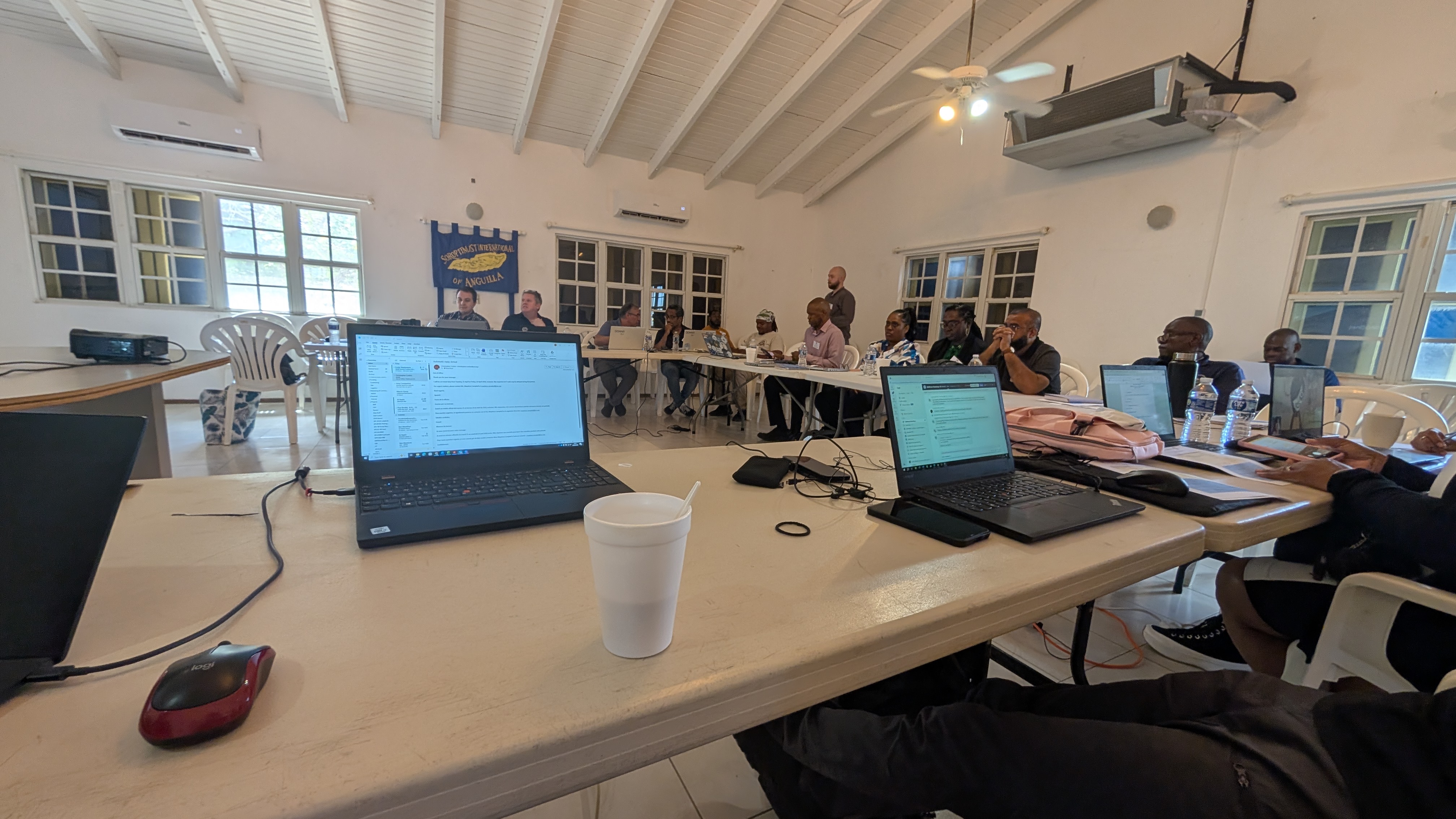
That is the problem the EMODnet Seabed Habitats Caribbean Stakeholder Workshop was convened to address. Held in Anguilla from 22 to 24 April 2026, the workshop brought together regional and international scientists, data managers, and governance specialists — including the Cartagena Convention Secretariat, represented by Coordinator, Mr. Christopher Corbin — to chart a path toward a connected, up-to-date, and decision-ready Caribbean marine knowledge base.
"Without a coherent picture of what lies beneath our seas, decisions about how to protect them are being made in the dark."
A Region Rich in Ocean — and Short on Data
The Caribbean is home to some of the most biodiverse and economically vital marine ecosystems on the planet — coral reefs, seagrass beds, mangroves, and deep-water habitats that sustain fisheries, tourism, and coastal resilience across dozens of nations. Yet the scientific foundation needed to govern and protect these ecosystems remains thin.
Workshop participants confirmed that data collection is ongoing across many Caribbean countries, but consistently under-resourced. The gaps in data are most noticeable as it pertains to offshore and deep-water environments and habitats, and in the consistency of coverage of this data across national boundaries. Compounding the problem, many existing datasets have not been updated in years and use incompatible classification systems that prevent meaningful regional analysis.
The Secretariat's Role: Bridging Science and Governance
Mr. Corbin's presentation to the workshop placed the data challenge squarely within the Cartagena Convention's governance mandate — highlighting that seabed habitat knowledge is not a technical nicety, but a prerequisite for effective regional governance, policy and ecosystem-based management and decision-making.
The Secretariat, alongside the Organization of Eastern Caribbean States (OECS), the Caribbean Community (CARICOM), and the University of the West Indies (UWI), were identified by participants as critical institutions for turning fragmented national efforts into a coherent regional system. The specific roles identified included:
- Harmonizing data classification systems and promoting interoperability across national and regional databases
- Coordinating regional initiatives to reduce duplication and accelerate progress
- Delivering targeted capacity building on mapping methodologies and data management
Addressing the data security and access concerns that have slowed cross-border sharing
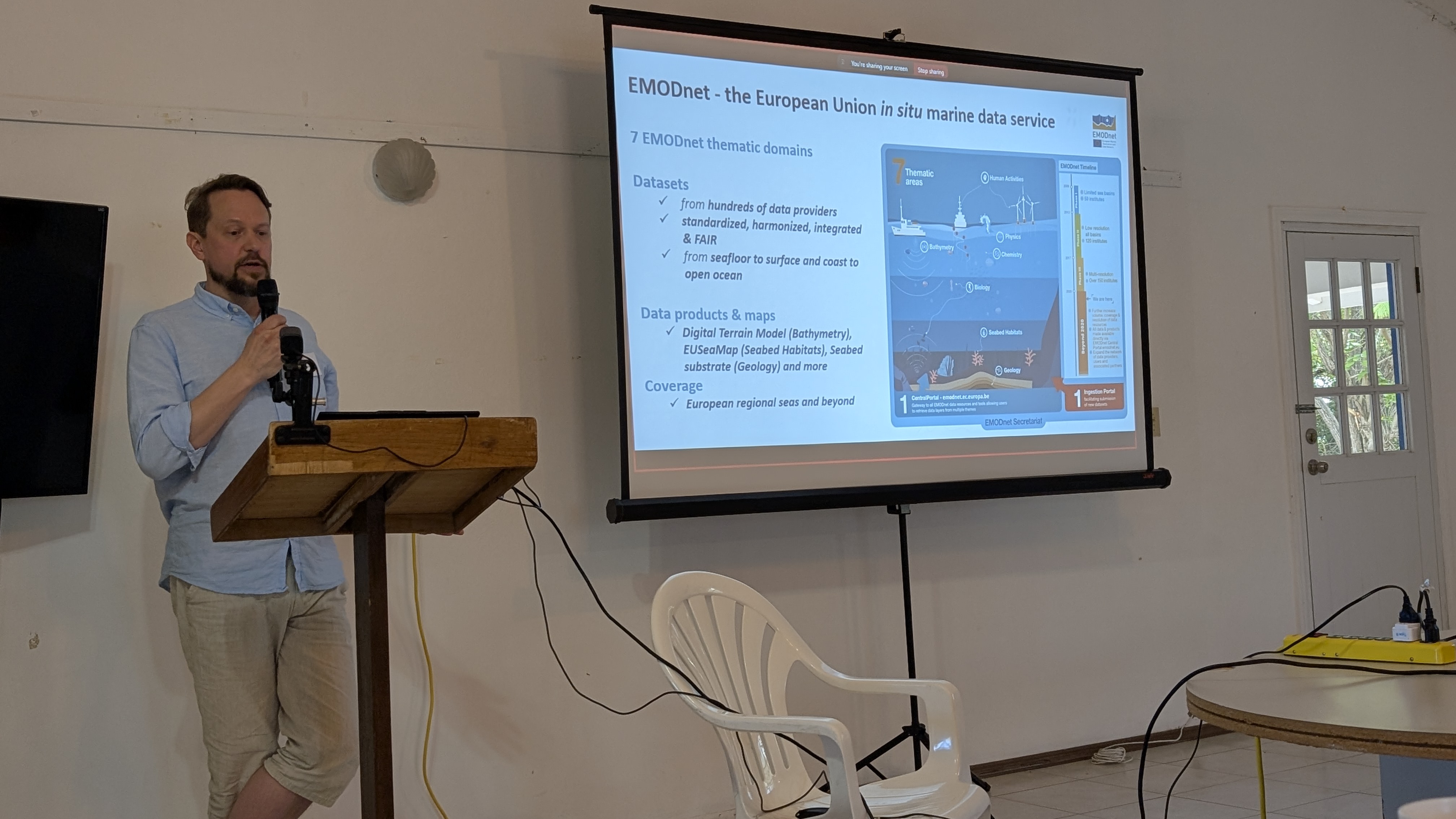
A presenter highlights key points during the workshop held in Anguilla, April 22-24, 2026
From Maps to Management: The Decision Gap
A consistent thread through the three-day workshop was the gap between data collection and real-world application. Several participants highlighted that, even where data exists, it rarely reaches the desks of marine spatial planners, policymakers, or investment decision-makers in a usable form.
Amidst technical sessions on EMODnet, tools and methodologies, and regional mapping initiatives, participants called for the development of practical decision-support tools and greater integration of seabed knowledge into marine spatial planning processes across the region. The Caribbean Environment Information System (CEIS) was highlighted as a ready platform for hosting and connecting EMODnet tools and regional datasets — potentially becoming a one-stop resource for Caribbean ocean intelligence.
Participants also raised the importance of sharing lessons learned, and technical expertise to advance regional process and reduce duplication of efforts.
What Comes Next
The workshop closed with a set of concrete commitments with direct implications for the Cartagena Convention's work programme:
- EMODnet partners accepted an invitation to participate virtually in the State of the Convention Area Report (SOCAR) Working Group, deepening the scientific base of the region's flagship environmental assessment
- An agreement was reached on advancing data interoperability between EMODnet systems and Caribbean platforms
- Alignment with the SPAW Protocol was affirmed as a priority area for future collaboration on habitat monitoring and marine protected area management
- Participants committed to sustaining the professional networks forged during the workshop as a foundation for ongoing implementation
The outcomes align directly with the Secretariat's draft 2026–2030 Regional Strategy, particularly its pillars on Knowledge Management and Governance — and signal a strengthening of the scientific partnerships on which that strategy depends.
The Caribbean's ocean data challenge is large. But Anguilla showed that the regional will, the institutional architecture, and the international partnerships to address it are falling into place.